Online Collection Database
SearchProducer
Johann Matthias Haas (°1684 - †1742)
Legend
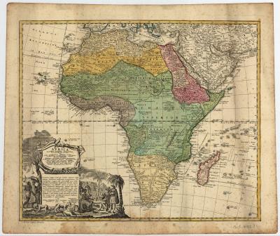
The German mathematician Hasius continued Delisle’s concepts and published this map in Nuremberg in 1737, with the Heirs of the Homann publishing firm. It represents one of the very first examples of “modern” cartography produced in Germany.
Place of production
Germany > Nuremberg
Dimensions
Map size: 47 cm x 56,6 cm / Paper size: 53, 6 cm x 63, 3 cm
Inventory number
HO.1946.1058.1
<< Previous page


